Bhubaneswar, Oct 22: Weather activity over the Andaman Sea has drawn attention to the possibility of a developing low-pressure system over the Bay of Bengal, with a European weather model indicating the potential for cyclone formation next week. However, the India Meteorological Department (IMD) has not yet issued a forecast confirming the formation of a cyclone.
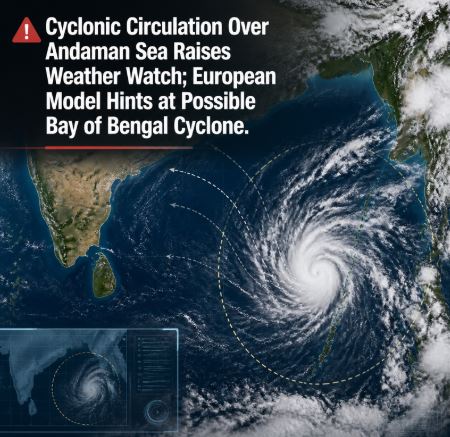
Representational Image
According to the IMD, a cyclonic circulation that was positioned over the North Andaman Sea on Wednesday moved west-northwestwards and lay over the sea near the Andaman Islands at 5:30 am on Thursday.
Under its influence, a low-pressure area is likely to form over the southeast Bay of Bengal and adjoining east-central Bay of Bengal around October 23, the weather agency said.
The system is expected to move west-northwestwards and may gradually intensify, although its eventual development and trajectory remain uncertain.
European Model Indicates Possible Cyclone Formation
While the IMD has so far forecast the formation of a low-pressure area, the European weather model has indicated a possibility of the system strengthening into a cyclone during the coming week.
According to the model projections cited in reports, there is an estimated 60 per cent chance of cyclone formation over the Bay of Bengal.
The model suggests that the system could develop into a depression by October 25, intensify into a deep depression on October 26 or 27, and potentially reach cyclone strength by October 28.
These projections represent a possible development scenario rather than a confirmed forecast. The system’s actual intensity, movement and chances of further strengthening will depend on evolving atmospheric and oceanic conditions.
Odisha-Andhra Coast Under Watch
The European model’s projected track initially indicates west-northwestward or northwestward movement. Subsequently, the system could move towards the Andhra Pradesh-Odisha coastline, although a more northerly trajectory has not been ruled out.
If the system develops and approaches the eastern coast, rainfall activity along coastal Odisha could increase between October 26 and 29.
However, the projected track and rainfall window remain tentative at this stage. There is no confirmation yet that the system will develop into a cyclone or make landfall along the Odisha coast.
IMD Yet to Confirm Cyclone Development
The distinction between a developing weather system and a confirmed cyclone threat remains important. The formation of a low-pressure area does not automatically mean that it will intensify into a depression or cyclone.
The IMD is monitoring the cyclonic circulation and the potential low-pressure system over the Bay of Bengal. Further observations and updated forecasts will help establish whether the system is likely to strengthen and which areas, if any, could face adverse weather.
With the projected period of possible intensification approaching, residents along the Odisha coast should follow official IMD bulletins for reliable updates on rainfall, wind conditions and any subsequent warnings.
For now, the possibility of a cyclone next week remains an indication from the European model, not an officially confirmed cyclone forecast from the IMD.